Bremerton’s Bridge-to-Bridge Walk: How to Plan the Three-Mile Route
Explore Bremerton and Manette with the official Bridge-to-Bridge map, local-history stops and practical questions to check before walking the route.
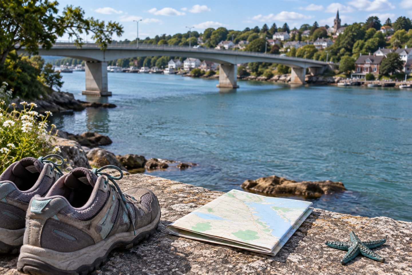
Bremerton’s Bridge-to-Bridge route offers a way to connect a walk with the city’s neighborhoods and local history. The attraction is not just reaching the opposite shore: it is noticing what sits between downtown, the bridges and Manette.
Visit Kitsap describes the route as a three-mile urban trail across the Manette and Warren Avenue bridges, with 12 local-lore points and starfish markers to help walkers follow it. Use that published distance as a planning reference, not as our independent measurement.
Get the route map before choosing your start
The destination organization’s Bridge-to-Bridge page provides a free map download. Save it before leaving and find your intended starting point, both bridge crossings and the route back. Read the map itself rather than improvising a circuit from the names of the bridges.
Starfish markers can be useful confirmation along the way, but a marker should not replace the full route plan. If construction, a closed sidewalk or other posted restriction interrupts your route, do not assume the next visible street is a suitable detour.
Choose a history walk or a steady walk
The same map can produce quite different outings. If you want a history-focused visit, allow pauses for the lore points and choose only a few optional stops. If your main aim is a continuous walk, keep those additions for a return visit. Neither approach needs a race against an untested completion time.
A useful way to plan is to separate the outing into bridge crossings, neighborhood sections and optional stops. Ask everyone in the group whether the whole circuit sounds comfortable. You can decide to explore one section instead, but identify the return route before shortening the plan.
Check the details a three-mile label cannot answer
- Surface and crossings: consult the current map and city notices; this guide has not audited curb ramps, gradients or every pedestrian crossing.
- Mobility: do not read an urban-trail label as a promise of an entirely step-free or barrier-free circuit.
- Weather: bring a layer appropriate to an exposed waterfront outing and adjust the plan if conditions are unsuitable.
- Facilities: confirm any restroom or business you intend to rely on, including opening hours.
- Return transport: work backward from your bus, ferry or parking constraints and include time to reach the departure point.
The September festival is an optional extra
The Bridging Bremerton organizer is promoting its September 19, 2026 celebration, including a history walk and other community activities. For the event-specific plan, use our existing Bridging Bremerton calendar entry and the organizer’s updates.
The route and the festival are different subjects. Event-day activities, staffing and opening arrangements should not be assumed on an ordinary walking day, and this article does not create a second event announcement.
Make the first decision simple
Download the map, decide whether you want the full circuit, and set the latest time you need to leave your final stop. If conditions or mobility questions make the whole route uncertain, choose a smaller, confirmed section rather than forcing a loop.
For another town-and-history outing, compare the Poulsbo waterfront and museum plan. For more date-specific possibilities, start with the events calendar.